LiDAR, short for Light Detection and Ranging, is an advanced remote sensing technology capable of creating precise 3D models of environments and objects. Its ability to gather three-dimensional data with great accuracy makes it a powerful tool in various fields, including archaeology, construction, engineering, and even autonomous vehicle development.
Originating in the 1960s for extensive land mapping, LiDAR has evolved significantly, especially through the incorporation of GPS and Inertial Navigation Systems (INS). Now, it can be integrated into both 3D scanners and printers to enhance their functionality.
How LiDAR Works
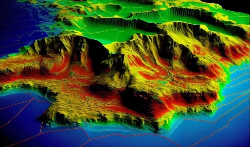
LiDAR operates by emitting laser pulses to measure distances between objects and surfaces, which allows for the reconstruction of 3D models. The technology comprises a laser scanner, a LiDAR sensor, and a processing unit to interpret the data. It sends millions of laser pulses per second towards the target surfaces. When these pulses are reflected, they are captured by the sensor and transformed into a point cloud that contains all the collected information. This data is processed by calculating the time it takes for the pulses to return, deriving the 3D coordinates for each point in the cloud. The resulting high-density point cloud provides a detailed representation of the scanned area or object.
LiDAR vs. Photogrammetry
While both LiDAR and photogrammetry aim to create 3D models, they function differently. Photogrammetry utilizes two-dimensional images taken from various angles to build 3D representations, relying heavily on current lighting conditions. LiDAR, in contrast, utilizes laser beams for mapping, yielding a point cloud that allows for more precise measurements and better performance in low-light situations. Although photogrammetry is typically less expensive, it often requires additional processing for accuracy, whereas LiDAR models are usually ready to go post-capture.
Types of LiDAR Scanners
LiDAR scanners are categorized mainly into terrestrial laser scanners (TLS), utilized on land, and airborne laser scanners (ALS), attached to aircraft. TLS can be static or mobile. Static scanners provide high-precision surveys of buildings and sites, whereas mobile scanners, which can be mounted on vehicles, are ideal for larger scans, such as city assessments. ALS, on the other hand, is used for aerial mapping and can even be fitted onto drones for more versatile applications.
LiDAR has found its way into many technologies, including robot vacuum cleaners for home mapping, self-driving vehicle navigation, and augmented reality applications on devices like iPhones. Software such as Polycam allows for quick and detailed environmental capture through devices that have integrated LiDAR systems.
LiDAR in 3D Printing
Currently, LiDAR sensors are not standard on most 3D printers, although there are projects aimed at incorporating them for enhanced print quality monitoring. For instance, Creality’s K1 MAX 3D printer uses LiDAR systems to detect and rectify anomalies throughout the printing process, while Bambu Lab’s X1 series adjusts printer parameters based on the feedback from its LiDAR system. Prices for these innovative 3D printers start from around €700 and can exceed €1,000.
In terms of scanners, market options include devices like the LiDAR 3D FJD Trion P1 for mapping and the Artec Ray II for large-scale areas. Costs vary, with basic sensors starting at approximately $45, while professional systems can range significantly higher.
Advantages and Challenges of LiDAR
The main advantage of integrating LiDAR into 3D printing is precision, allowing real-time feedback that enhances print quality. However, the technology’s cost can be prohibitive for many, especially at the professional level. Additionally, integrating dense point cloud data into CAD software may require extensive processing, complicating workflows.
As LiDAR technology progresses, its potential applications within 3D printing and other domains are likely to expand, making it an intriguing area for both research and commercial growth.